2025 International Conference on Remote Sensing and Information Technology Concludes Successfully
The 2025 International Conference on Remote Sensing and Information Technology (RSIT2025) successfully concluded on May 16, 2025. This conference aimed to bring together leading researchers, engineers, and industry experts to explore the latest advancements in remote sensing technology and its integration with cutting-edge information technologies.
RSIT2025 gathered top global scholars, focusing on frontier developments in remote sensing through keynote speeches. Nearly 80 experts and scholars from renowned domestic universities and research institutions attended the conference. The event featured vibrant intellectual exchanges and a dynamic academic atmosphere, with participants engaging in fruitful discussions on innovative applications of remote sensing technology and its role in driving societal progress. Together, they charted a new blueprint for technological empowerment and social advancement.
RSIT 2025 welcomed four keynote speakers: Prof. Pedro Cabral (Nanjing University of Information Science & Technology, China), Prof. Yanni Dong (Wuhan University, China), Prof. Yi Wang (China University of Geosciences, China), Prof. Muhammad Bilal (King Fahd University of Petroleum & Minerals, Saudi Arabia)
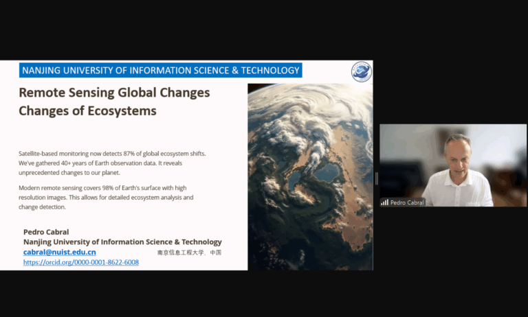
Keynote Speech: Prof. Pedro Cabral, Nanjing University of Information Science & Technology, China
Title: Remote Sensing Global Changes of Ecosystems
This presentation systematically explored the critical role of remote sensing technology in global ecosystem monitoring. The report emphasized that the integrated application of multi-source remote sensing data enables precise characterization of ecosystem dynamics, though challenges such as data heterogeneity and spatiotemporal resolution discrepancies persist. Future efforts should focus on developing more intelligent remote sensing analytical frameworks to support global-scale ecological assessments and sustainable development decision-making.
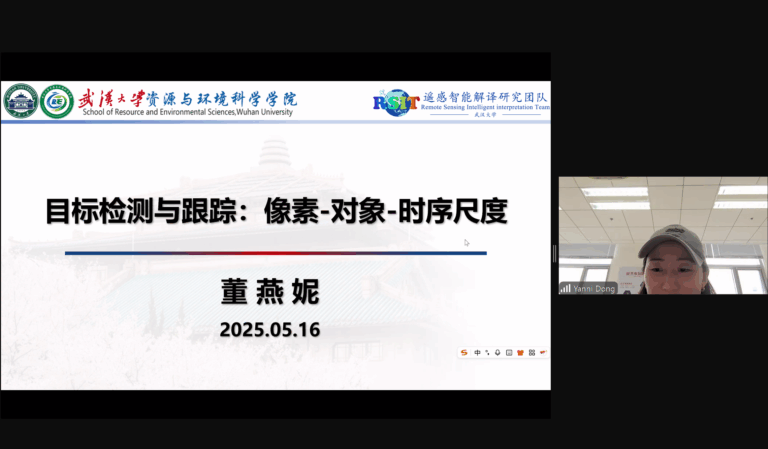
Keynote Speech: Prof. Yanni Dong, Wuhan University, China
Title: Object Detection and Tracking: Pixel-Object-Temporal Scales
The speech provided an in-depth analysis of cutting-edge advancements in multi-scale remote sensing object detection and tracking technologies. The research proposed that cross-scale collaborative optimization—spanning pixel-level feature extraction, object-level semantic understanding, and temporal dynamic modeling—is key to improving detection accuracy. Applications in urban planning and disaster monitoring demonstrate the immense potential of deep integration between AI and remote sensing.
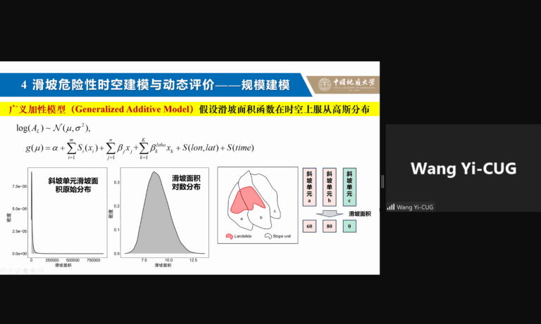
Keynote Speech: Prof. Yi Wang, China University of Geosciences, China
Title: Spatiotemporal Modeling and Dynamic Assessment of Landslide Hazards Under Climate Change
The report innovatively developed a dynamic landslide risk assessment model coupling climatic factors and geological environmental parameters. The study highlighted that global warming intensifies the spatiotemporal heterogeneity of landslide hazards, necessitating multi-temporal remote sensing monitoring and machine learning methods for early warning systems and precise risk mitigation. This work provides scientific support for building resilient cities.
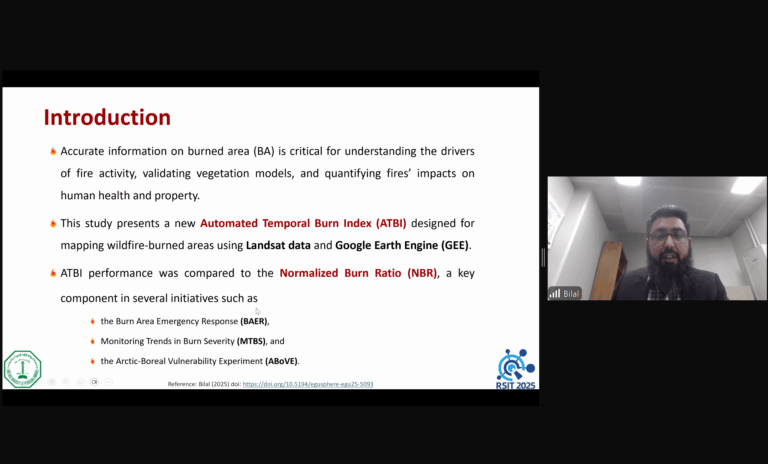
Keynote Speech: Prof. Muhammad Bilal, King Fahd University of Petroleum & Minerals, Saudi Arabia
Title: A Novel Remote Sensing Index for Mapping Wildfire Burned Areas
The presentation introduced a new burn index based on multispectral remote sensing data, significantly improving the identification accuracy of wildfire boundaries. The research demonstrated that this index effectively overcomes limitations of traditional methods in complex terrains and densely vegetated regions, offering a reliable technical tool for post-disaster ecological recovery assessment and carbon cycle studies.